





Introduction
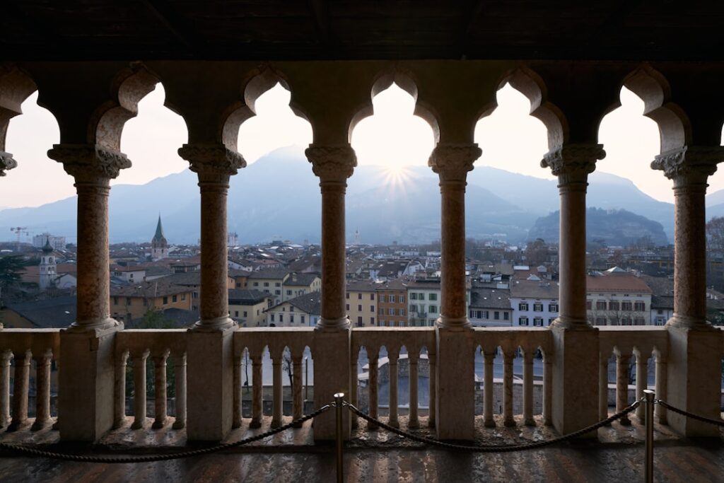
Trento, sitting in the heart of Trentino-Alto Adige, is the perfect gateway for day hikes that combine alpine summits, crystalline lakes, green valleys and medieval villages. Whether you’re an experienced trekker after challenging trails or a family looking for a scenic stroll, the area around Trento offers a variety of day trips reachable in under two hours by car or public transport. The scenery is stunning: alpine meadows, conifer forests, karst peaks, medieval castle walls and sunlit shores. The dry, clean air of Trentino, the hearty local cuisine rich in cheeses, cured meats and polenta, and the warm welcome at mountain refuges round out every outing.
In this article I’ve picked eight can’t-miss hikes from Trento, chosen for the variety of landscapes, accessibility and cultural points of interest. For each route you’ll find: the full place name, the exact start or main parking address, practical info on prices and opening times (for lifts, parks, museums or refuges), an immersive description of the trail, and local tips — what to pack, where to eat, the best seasons, and how to get there from Trento. These details will help you plan your day trips, assess the difficulty and make the most of the experience while respecting the mountains and local traditions.
Before diving into the eight outings, a few general tips: check the operating hours of lifts and refuges, bring a map (or GPS) and clothing suited to changing mountain weather, pack water and snacks, and tell someone your route if you go alone. Finally, respect the environment: take all your rubbish with you, stay on marked paths and follow local rules. Now lace up your hiking boots — here are eight memorable routes to explore around Trento.
1. Monte Bondone — Sentiero della Pace (Trento, Monte Bondone)
Starting point: Stazione a valle Funivia Monte Bondone, Via Monte Bondone 1, 38123 Trento (TN). Parking: Parcheggio Funivia, Via Monte Bondone 1, 38123 Trento. Access: 20 minutes by car from Trento city centre or by cable car from Piazza Fiera (shuttle available).
Description: Monte Bondone towers above Trento and offers panoramic views over the Valsugana, the Adige valley and the Dolomites. The Sentiero della Pace (Path of Peace) is a historic, scenic route linking former wartime posts, grassy ridges and pine forests. The classic route starts near the upper station of the Monte Bondone cable car (Funivia Monte Bondone, Piazza Bolognini 10, 38123 Trento) and follows waymarked trails with interpretive panels about local history.
Duration and difficulty: 4 to 6 hours round-trip, moderate elevation gain (around 600–800 m), suitable for intermediate hikers. Best season: May to October (snow possible in winter).
Facilities and prices: Monte Bondone cable car — single ticket: €6.00; return: €10.00 (indicative rates, Funivia Monte Bondone, Piazza Fiera, 38122 Trento). Cable car hours: usually 08:30–17:30 in high season (check local website before you go).
Practical tips: Bring warm layers, sun protection and water. Trekking poles are helpful for steep sections. For a meal, stop at Rifugio La Montanara (Via alla Piana, 1, 38123 Vason, Trento) — local dishes from about €12.00. You can return by regional bus from Vason to Trento (check seasonal timetables).
2. Val di Fumo via Rifugio Segantini (Madonna di Campiglio/Val Rendena)
Starting point: Parking Rifugio Graffer, Località Pinzolo, 38086 Pinzolo (TN). Refuge address: Rifugio Segantini, Loc. Doss del Sabion, 38086 Marilleva (TN) — located on trails connecting to Val di Fumo.
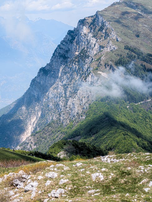
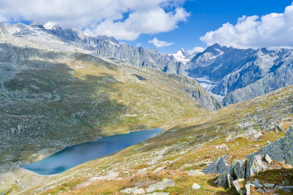
Description: Val di Fumo, near Madonna di Campiglio, is a glacial alpine valley known for its lakes, waterfalls and sheer rock walls. The trail to Rifugio Segantini crosses high pastures, spruce woods and offers views of the Dolomite peaks. This route immerses you in wild nature, with chances to spot wildlife (deer, marmots) and to reach high-altitude lakes with crystal-clear water.
Duration and difficulty: full day, 6–8 hours round-trip, variable elevation gain up to 900 m — demands good endurance. Best season: June to September (snow can linger in spring).
Facilities and prices: Local nature park entrances are often free; some refuges charge for meals and overnight stays (Rifugio Segantini — main courses around €15–18, coffee €2.50). Refuge hours: typically 08:00–20:00 in season but can vary (book ahead — local number indicative).
Practical tips: Sturdy hiking boots, waterproof clothing, and a basic first-aid kit. Bring a topographic map (Istituto Geografico Militare or Kompass). Trails can be rocky and narrow — be cautious in wet weather. Park in the official lot to avoid fines.
3. Lago di Tenno and Sentiero del Ventrar (Tenno, Riva del Garda)
Starting point: Parcheggio Lago di Tenno, Via al Lago, 38060 Tenno (TN). Lake address: Lago di Tenno, 38060 Tenno, Trentino. Access: 40–50 minutes by car from Trento via the A22 and SS240.
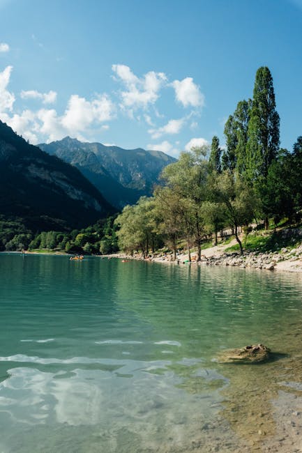
Description: Lago di Tenno is a turquoise gem framed by cliffs and pines, one of Trentino’s most photogenic lakes. The Sentiero del Ventrar circles the lake and climbs to viewpoints that look down on the emerald water and the hilltop medieval village of Canale di Tenno. The mix of lake panoramas and stone alleys makes for a perfect day for hikers and photographers alike.
Duration and difficulty: 2–4 hours for the loop and moderate ascent (200–300 m). Great for families. Best season: April to October (swimming possible in summer; follow posted rules).
Facilities and prices: Parking: €3.00–5.00 per day depending on season. Local restaurants: Trattoria Al Lago, Via al Lago 12, 38060 Tenno — main courses €10–18. No entrance fee. Restaurants often open 11:00–22:00 in summer.
Practical tips: Bring swimwear and a towel if you plan to take a dip; designated bathing areas are signposted. Pack a picnic blanket for a shore-side lunch. Respect the rules: no cliff diving, no motor vehicles around the lake.
4. Parco Naturale Adamello-Brenta — Easy trek to Rifugio Tuckett (Val Nambrone)
Starting point: Parking Madonna di Campiglio, Piazzale Rova, 38086 Madonna di Campiglio (TN). Route: trails to Val Nambrone and Rifugio Tuckett, Pian de Nera.
Description: The Adamello-Brenta Park is the largest nature reserve in the region and delivers grand mountain scenery. The path to Rifugio Tuckett winds through alpine meadows, streams and high-altitude woods. The refuge provides superb views of the Brenta peaks and hearty mountain cuisine. This is an immersive hike where the scale of the dolomitic faces is felt around every bend.
Duration and difficulty: 5–7 hours round-trip, elevation gain roughly 700–1000 m depending on the route. Best season: late June to September.
Facilities and prices: Rifugio Tuckett (Rifugio Al Tuckett) — main courses €14–20, drinks €2–4. Refuge hours: usually 07:00–20:00 in high season; closed off-season. Park entry: free, but follow park rules.
Practical tips: Start early to avoid afternoon storms. Bring warm clothing for the refuge at altitude and check availability if you plan to stay overnight. Mobile reception may be limited — carry a map or GPS.
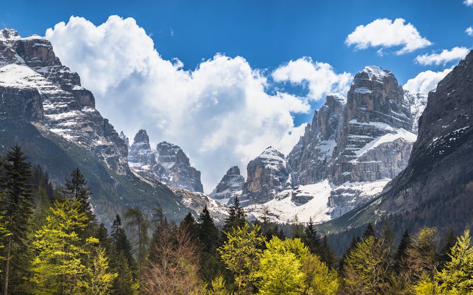
5. Sentiero del Ponale and the Riva del Garda Bus (Riva del Garda, Ledro)
Starting point: Via al Più, 38066 Riva del Garda (TN) — free parking near Riva harbour. Access: 40–50 minutes by car or train + bus from Trento (Trento → Rovereto → Riva del Garda).
Description: The Sentiero del Ponale is a dramatic cliffside promenade overlooking Lake Garda between Riva del Garda and Pregasina. The trail offers sea-meets-mountain views, limestone cliffs and expansive lake vistas — perfect for an easy, photogenic day out. From the main trail you can extend into Valle di Ledro and visit the Museo delle Palafitte di Ledro (Piazza del Comune 8, 38067 Molina di Ledro).
Duration and difficulty: 2–4 hours depending on extensions (little elevation gain, well-maintained path). Best season: year-round, especially pleasant in spring and autumn.
Facilities and prices: Museo delle Palafitte di Ledro — adult ticket €6.00; hours: 10:00–18:00 (seasonal). Bars and restaurants in Riva del Garda: meals €10–20; open roughly 09:00–22:00. Local buses (ACTS/Trentino Trasporti) connect Trento to Riva del Garda — check timetables and seasonal lines.
Practical tips: Wear sturdy shoes, though not necessarily crampons. The trail is popular — start early in high season. Bring swimwear to cool off by the lake after the walk. Respect barriers along exposed cliff sections.
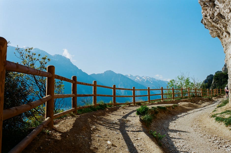
6. Vallagarina — Castello di Avio and the Sentiero dei Castelli
Starting point: Castello di Avio, Via Roma 1, 38063 Avio (TN). Parking: Parcheggio Castello, Via Roma, Avio. Access: 30–40 minutes by car from Trento via the SS43 and SP90.
Description: Vallagarina is a historic valley dotted with medieval castles and vineyards. The Sentiero dei Castelli links several fortresses, including the striking Castello di Avio perched on a rocky spur. The hike blends history — towers, ramparts and frescoes — with agricultural scenery, and you can sample local wines (Teroldego Rotaliano) at nearby agriturismi.
Duration and difficulty: 3–5 hours, easy to moderate. Ideal for hikers interested in heritage and wine.
Facilities and prices: Castello di Avio — admission for the museum/fortress: €6.00–8.00; hours: 09:30–17:30 (seasonal, check before you go). Wine tastings at local farms: from about €10.00 for a guided tasting. Restaurants: Osteria al Castello, Via Roma 5, 38063 Avio — mains €12–22.
Practical tips: Wear shoes suitable for stony paths around the walls. Check castle opening times (closed some days off-season). If you plan tastings, arrange a designated driver or book a taxi back to Trento.
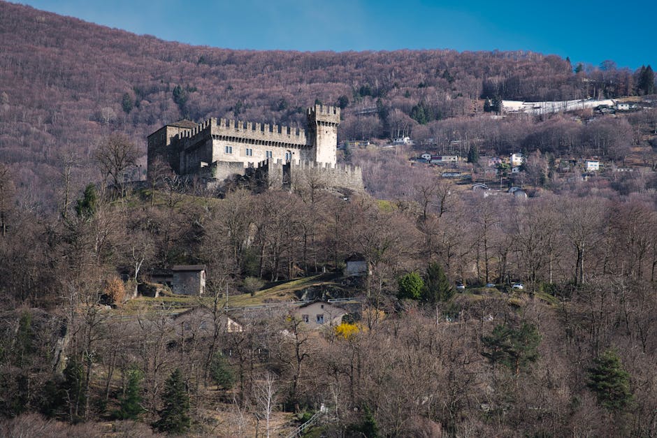
7. Altopiano della Paganella — Giro dei Rifugi (Andalo)
Starting point: Andalo, Piazzale Paganella, 38010 Andalo (TN). Parking: Parcheggio Andalo, Via Paganella. Access: about 40 minutes from Trento via SP43.
Description: The Paganella plateau overlooks the Adige valley and features easy to moderate trails with wide-reaching views. The Giro dei Rifugi is a circular route linking several mountain huts — Rifugio La Roda, Rifugio Maso Baitoni and Rifugio Dosson — letting you sample local specialties at each stop. Scenery includes flower-filled meadows, copses and open alpine panoramas.
Duration and difficulty: 4–6 hours depending on variations, moderate elevation gain. Best season: June to September for alpine blooms and full refuge access.
Facilities and prices: Seasonal lifts (if you want to reduce elevation) — day passes: around €20–30 depending on the period. Refuges — hot meals €12–20, drinks €2–4. Refuge hours: generally 08:00–19:00 in high season.
Practical tips: Great for active family hikes. Bring a map of the refuges and a sun hat. Book huts in advance if you plan group lunches on busy summer weekends.
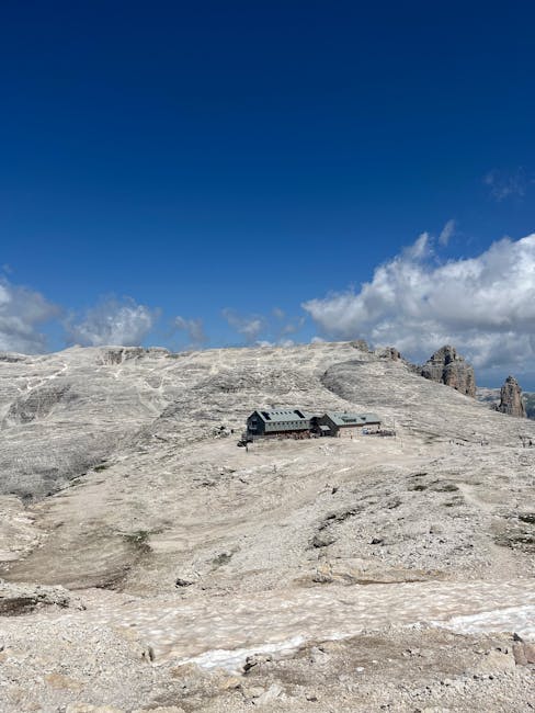
8. Dolomiti di Brenta — Sentiero delle Bocchette (easy section)
Starting point: Madonna di Campiglio, Piazzale Rova, 38086 Madonna di Campiglio (TN). Area: Adamello-Brenta Nature Park, access via Val Brenta.
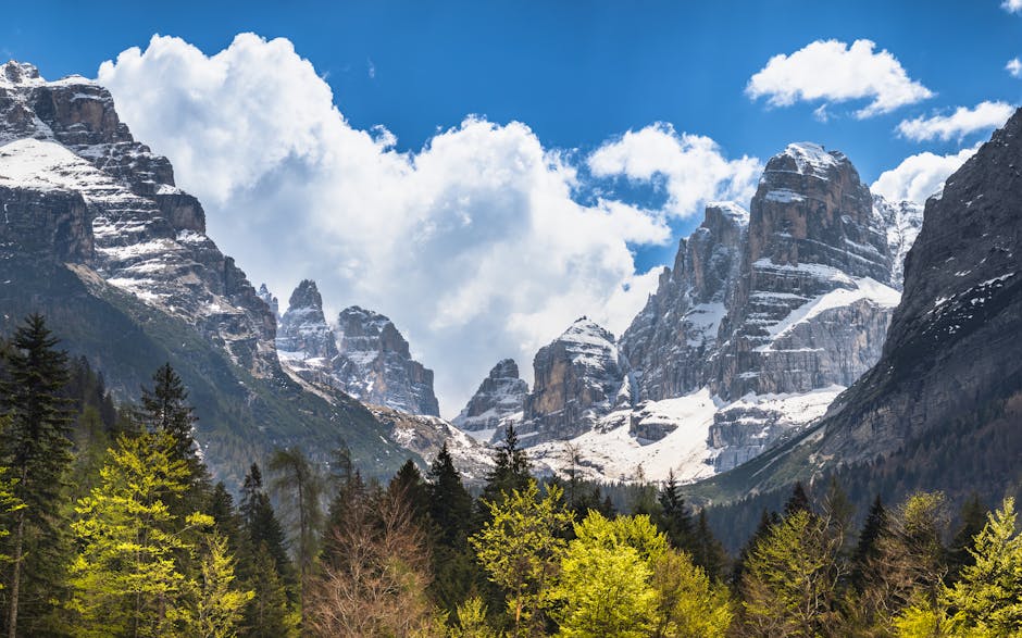
Description: The Bocchette are a network of via ferrata and airy trails in the heart of the Brenta Dolomites. For a day trip without technical gear, choose a lower section or a linking path that still delivers spectacular views of the limestone towers while remaining accessible to experienced hikers who aren’t doing full ferratas. The scenery is dramatic: spires, glacial cirques and fragrant alpine pastures.
Duration and difficulty: 5–8 hours depending on the section, with easy to moderate stretches (avoid exposed parts if you’re uncomfortable with heights). Best season: July to September (snow-free).
Facilities and prices: Local guides available — indicative half-day rate €60–100 per guide (group). Area refuges (e.g. Rifugio Brentei) serve meals from €14–18. Refuge hours: usually 07:00–20:00 in high season.
Practical tips: If you’re not used to exposed routes, hire a guide. Take a helmet if you plan on any via ferrata sections, and check weather — afternoon storms are common. Bring water, energy snacks and a windproof layer.
Conclusion
These eight hikes make a varied selection for exploring the surroundings of Trento: from the panoramic balcony of Monte Bondone to the emerald waters of Lago di Tenno, from the glacial valleys of Adamello-Brenta to the historic trails of Vallagarina. Each outing offers an intimate encounter with nature as well as chances to touch local history — medieval castles, traditional refuges and old trade routes — and to taste Trentino’s culinary specialties in authentic settings.
Before you set out, plan your route taking into account the opening hours of refuges and cable cars (for example Funivia Monte Bondone), the weather and any seasonal restrictions. Think safety: proper footwear, layered clothing, water reserve and a map/GPS. If you want to fully enjoy the cultural aspects (wine tastings in Vallagarina, visiting Castello di Avio, or discovering the pile-dwelling museum at the Museo delle Palafitte di Ledro), book ahead and arrange transport to avoid surprises.
Finally, respect the natural areas and local customs: stay on marked trails, don’t light fires outside authorised zones, and leave villages and refuges like Canale di Tenno, Madonna di Campiglio or Avio more beautiful than you found them. These day hikes from Trento are invitations to slow down, look, taste and reconnect with an exceptional alpine landscape. Happy hiking — and don’t forget your camera to capture those unforgettable panoramas.